Norway’s Geological Heritage
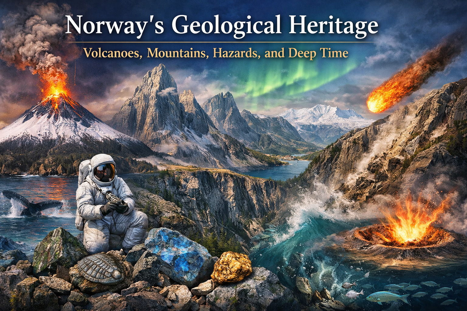
Norway has five UNESCO Global Geoparks: Gea Norvegica (Vestfold/Telemark), Magma (Rogaland/Agder), Trollfjell (Helgeland), Sunnhordland (Western Norway), and Fjordkysten Geopark. Together, they represent unique geological landscapes and showcase Norway’s geological history.
After renovation, the Natural History Museum in Oslo is Norway’s largest natural science museum and among the largest in Scandinavia, especially for geology and paleontology. It also houses Norway’s national reference specimens of rocks and minerals.
The Caledonian mountain range, about 400 million years ago, was as high as—or even higher than—the present-day Himalayas. Exceeding 10 km! It formed as a result of continental collision. Today’s Norwegian mountains are the eroded remnants of this ancient system. High-pressure rocks serve as evidence that parts of the crust were once subducted to depths greater than 60–100 kilometres. The most striking geological traces are visible today in Western Norway, particularly in Sunnmøre, Nordfjord, and Sognefjord.
Jutulhogget Canyon is 2.4 km long and 140 m deep, making it one of the longest canyons in Northern Europe. Jutulhogget is included in an exclusive global list — the International Union of Geological Sciences’ “First 100” geological heritage sites in the world.
Sautso Canyon is the largest canyon in Northern Europe.
Leka Island– a piece of America! Today on Leka, it is possible to walk from the Earth’s interior and follow geological layers upward all the way to the oceanic crust. There are very few places in the world where this is possible. About 400 million years ago, oceanic crust was thrust onto land exactly where you are standing, and today it can be seen as mountains and rocks in shades of grey, red, and yellow. Leka is recognized as “Norway’s Geological National Monument“. Large parts of the island consist of serpentinite and olivine-rich rocks, giving it its characteristic yellowish-red colour and otherwise found mainly on the American side of the Atlantic Ocean. Here, mantle rocks (peridotite and serpentinite) and up to ~7 km of oceanic crust material can be observed directly at the surface — something that is extremely rare elsewhere in the world.
The Storegga Slide is one of the largest submarine landslides in the world, occurring about 8,200 years ago. It triggered the massive Storegga tsunami, which left clear traces along the entire Norwegian coastline. The landslide covered an area nearly the size of Belgium. The volume of the slide is estimated at 2,400–3,200 km³, which would correspond to a 25–30 cm thick layer if spread across the entire land area of the United States. The rear scarp of the slide is about 300 km long, and parts of the material travelled as far as 800 km into the deep ocean. The slide reached depths of up to 700 m. The waves reaching the western Norwegian coast were up to 10–11 m high.
Åkerneset is a large, fractured, slowly moving rock mass above the Storfjord. It is the most dangerous active mountain rockslide in Norway, and if it were to collapse, it could trigger tsunami waves 30–40 m high in the Storfjord. The potential volume of the rockslide is estimated at 18–54 million cubic meters of rock.
The Loen disasters (Loenulykkene) were three rockslide events in Loen, Nordfjord, in Stryn municipality, occurring in 1905, 1936, and 1950, and represent some of the deadliest natural disasters in Norwegian history. In 1936, approximately one million cubic metres of rock detached and fell from Ramnefjellet, about 800 m above ground level. A 70-metre-high wave swept away farms and destroyed everything in its path. In total, 74 people lost their lives in the villages of Nesdal and Bødal.
Gardnos Crater is one of the most easily accessible meteorite craters in the world, as the crater itself and its impact features are easy to find along a nature trail. Approximately 546 million years ago, a meteorite with a diameter of about 300 m caused a massive explosion in the Garnås area, forming a crater with a diameter of 5 km.
Norwegian geologist Jon Larsen demonstrated that micrometeorites can be systematically found on the Earth’s surface. He identified them in urban rooftop sediments using magnetic separation and microscopy, fundamentally changing the perception that cosmic material on Earth is extremely rare.
Astronaut and eclogites
Harrison H. Schmitt, a geologist who took part in the Apollo 17 Moon landing mission, was the only astronaut without a military aviation background ever to have walked on the lunar surface. Schmitt was the first scientist, the twelfth, and also the last person to step onto the Moon. In many ways, the Apollo 17 journey began in Sunnmøre. In his exploration of the Moon, he drew heavily on what he had learned in Norway. He studied high-pressure rocks, including eclogite, and this work helped connect Earth and Moon geology into a single scientific framework. In 1957–1958, the young geology student studied geology at the University of Oslo (UiO) as part of an exchange program. One of the strongest impressions from this period was seeing the Northern Lights on his way home to his host family at Bygdøy. It was during his studies in Oslo that he first became seriously interested in space and the Moon. In 1957, the Soviet Union launched the Sputnik satellite, which caused great excitement among students in Oslo. During this time, Schmitt learned to ski in Nordmarka, a skill that later proved very useful during the Moon mission. Unlike other astronauts, who adopted the “bunny-hop technique” (jumping with both feet), Schmitt preferred a long, rhythmic stride reminiscent of cross-country skiing. He considered this a fast and energy-efficient way to move across the lunar surface. Schmitt was able to move at speeds of 10–12 km/h, which would have made him the fastest person ever to move on the Moon. While studying in Norway, Schmitt took part in several field investigations in the Herøy and Ulstein areas, where he was particularly interested in eclogite rocks. In the late 1950s, he made several study trips to Sunnmøre, and in 1960 he lived in Eiksund. During this time, he worked as a geologist, collecting rock samples for the Norwegian Geological Survey (NGU) in Sunnmøre. It was specifically the eclogite occurrences in Sunnmøre that interested the lunar geologist the most. During his stay, he collected more than 1,200 rock samples, which formed the basis of his doctoral dissertation in geology. Schmitt received his education at the California Institute of Technology (Pasadena), the University of Oslo, and Harvard University in Cambridge, Massachusetts. In 1964, he was awarded a PhD in geology from Harvard University. His doctoral thesis was titled: “Petrology and structure of the Eiksundsdal eclogite complex, Hareidland, Sunnmøre, Norway.” PhD Thesis, Harvard University, May 1963. Schmitt later emphasized that searching for rocks and minerals in Sunnmøre was an ideal preparation for the Moon mission. When Apollo 18 and 19 were cancelled, intense lobbying began to include him in the Apollo 17 mission, as many believed that a professional geologist with field experience was needed on the Moon. Apollo 17 returned to Earth in 1972 with approximately 110 kg of lunar soil and rocks. One of the most important samples was Troctolite 76535, considered the most interesting lunar rock sample ever brought back to Earth. Nearly 50 years later, minerals from this sample were re-analyzed, giving researchers new insight into the formation and age of the Moon. According to recent studies, the Moon is about 4.46 billion years old, approximately 40 million years older than previously believed. In 1973, Harrison Schmitt returned to Sunnmøre to give lectures on geology.
The Kongsberg Silver Mines (operating approximately 1623–1958) were one of the most important silver mining centres in Europe. They operated for more than 300 years and had a significant impact on the economic and technological development of Norway. The mining system included approximately 1,000–1,100 shafts and mine openings, reaching a maximum depth of about 1,000 m below the surface. During the 17th and 18th centuries, it was one of the deepest mining operations in Europe. The total length of underground tunnels is estimated at around 300 km, arranged across multiple levels.
The Røros mines were the historical heart of the Røros Copper Works, one of the largest mining enterprises in Norway. Operating from 1644 to 1977, the mines produced copper and zinc and are today part of a UNESCO World Heritage Site.
Gold in Norway. No kilogram-class gold nuggets have been found in Norway. The largest documented finds are approximately 30–40 grams, mainly from river sediments in Finnmark. Officially, the largest find is the Gisna River gold nugget in Trøndelag, which weighs 34.9 grams and is one of the largest documented modern alluvial gold nuggets in Norway.
Norway’s national stone is larvikite, quarried in the Larvik area. Larvikite is a monzonite-type igneous rock, unique on a global scale. Its characteristic blue shimmering effect (labradorescence) is caused by feldspar crystals. Norway is the only country where larvikite is extracted industrially.
The national semi-precious stone is thulite – a pink variety of zoisite. Together, these stones symbolize Norway’s unique magmatic and metamorphic geology. Thulite is a pink variety of zoisite that was first described in Norway. It is named after Thule, a concept from northern mythology. Norway is the type locality for this mineral. In Norway, the three most well-known deposits are located in places beginning with the letter L: Lierne, Lom, and Leksvik, although new deposits continue to be discovered. The pure thulite rock at Østre Brandsfjell in Lierne is among the largest known thulite deposits in the world.
Rare Earth Elements (REE) occur in the Fen Complex.
Fensfeltet is an ancient volcanic area where, approximately 580 million years ago, magma formed special, mineral-rich rocks. These are the remains of an ancient limestone (carbonatite) volcano, which today form a geologically unique area near Ulefoss, in Nome municipality, Norway. Fensfeltet may contain possibly the largest rare earth element deposit in Europe, as well as minerals and raw materials that are especially important for green and future technologies. Drilling operations have shown that rare earth elements occur at depths of at least 1,000 m, with concentrations in the rocks ranging from 0.02 to 10 percent. The total amount of rare earth elements in the Fensfeltet area is estimated at 30–50 million tonnes. For this reason, the area could become the foundation for a new and significant value chain in Norway after the oil era. Rare Earth Elements (REE) are a group of 17 metals. The group includes 15 lanthanides with atomic numbers 57–71, which have similar chemical properties and therefore usually occur together in nature. In addition to the lanthanides, yttrium (Y) and scandium (Sc) are also classified as rare earth elements. These 17 elements are: lanthanum, cerium, praseodymium, neodymium, promethium, samarium, europium, gadolinium, terbium, dysprosium, holmium, erbium, thulium, ytterbium, lutetium, scandium, and yttrium. In the Fen Field, the most abundant are the light rare earth elements, mainly cerium (Ce) and lanthanum (La), followed by neodymium (Nd) and praseodymium (Pr). During the Second World War, the German occupying forces initiated test mining and exploration in the area in search of niobium, which was used in the construction of the V1 and V2 unmanned rockets.
Fossils in Norway are found not only in the north but also in the Oslo Field (Oslofeltet) region. Here, fossils of trilobites, brachiopods, molluscs, and corals from the Ordovician and Silurian periods are preserved. The Oslo region represents the richest classical fossil area in Southern Norway. Andøya is the richest fossil locality in Norway outside Svalbard, containing plants, fish, and invertebrates from the age of dinosaurs preserved in sedimentary rocks. Andøya is unique because it preserves Mesozoic sediments in Northern Norway.
Norwegian volcanoes
On Jan Mayen there is the active stratovolcano Beerenberg — the only active volcano in Norway. Its height is approximately 2,277 m. The summit crater is about 1 km wide, with several flank eruption cones. The most recent known eruptions were recorded in 1970 and 1985. Near Jan Mayen lies the submarine volcanic system Mohns Ridge. It is an active mid-ocean ridge where new oceanic crust is continuously formed.
The submarine volcanic structure Eggvin Bank, which is geologically associated with the Kolbeinsey Ridge system and located between the island of Jan Mayen and Greenland, is an active submarine volcanic feature where hydrothermal vents and new oceanic crust have been found. Volcanic activity is occurring there today. The bank lies at a depth of 1,270–1,300 m.
In 2023, using the research vessel Kronprins Haakon and ROV Aurora technology, the submarine Borealis Mud Volcano was discovered in the southwestern Barents Sea, at the outer part of Bjørnøyrenna (Outer Bear Island Trough). It is located at approximately 400–500 m below sea level, and its crater diameter is about 300 m. This is the second mud volcano of this type in Norwegian waters — the first was the Håkon Mosby Mud Volcano near Svalbard, at a depth of 1,250 m. Mud volcanoes are not lava volcanoes — they do not produce lava flows, but instead emit mud, water, and gases, especially methane, from submarine sediments or crustal structures.
The Oslo Rift volcanic region is approximately 200 km long and 50–70 km wide. It is not a single volcano, but a broad rift system with extensive magmatic intrusions, which was active during the Permian period (around 300 million years ago). The calderas of individual volcanic centers reached diameters of up to ~5–10 km.
In the 1904 an earthquake of magnitude 5.4 struck the Oslo region. Earthquakes of this size are rare in mainland Norway. Stronger earthquakes, with magnitudes around 6, have occurred mainly in Svalbard and Jan Mayen. In mainland, smaller earthquakes (magnitude 1–3) occur relatively frequently each year, but events above magnitude 4 are uncommon, and earthquakes exceeding magnitude 5 are exceptional. If a similar 1904-scale earthquake were to occur in Oslo today, it could cause a major disaster due to dense urban development. According to NGU’s report on Norwegian neotectonics, earthquakes similar to the 1904 Oslofjord event (around magnitude 5) have an estimated return period of about 130 years, while stronger earthquakes around magnitude 6 are estimated to occur roughly once every 1,500 years.
Plura Cave (Pluragrotta) is Northern Europe’s longest cave system, with a mapped length of approximately 2.6–3.8 km. The water temperature is about 2 °C, and underwater visibility can reach up to 40 m. Pluragrotta, located outside Mo i Rana in Nordland, is one of Norway’s most famous caves for cave diving. From the entrance, divers can swim approximately 450 m into the cave, reaching a maximum depth of around 34 m, before arriving at the Air Chamber (Luftkammeret). This air-filled chamber is about 500 m long. Beyond the Air Chamber, the cave system continues into a deep underwater sump, where the maximum depth reaches 132 m below the water surface. Pluragrotta is actively used, with approximately 1,500 to 2,500 dives conducted each year. At the same time, the cave involves significant risk. Since 2006, there have been four fatal accidents in Pluragrotta, all related to cave diving. This cave contains the world’s deepest fully swimmable sump passage — a completely flooded cave section that can be passed entirely underwater. A sump is a cave passage that is completely filled with water and serves as a connection between two dry, air-filled cave chambers. In Norwegian, this formation is called a vannlås, while in English speleological terminology it is known as a sump. In this case, the diver can actually swim through the entire section: enter from a dry cave chamber filled with air, swim through a fully flooded passage, and emerge at the other end into another dry, air-filled chamber. The maximum depth of the underwater section reaches 132 m, making this site a world record in a very specific and high-level category of technical cave diving. Pluragrotta has two entrances: one located high on the mountainside, requiring an approximately 100-m vertical descent to reach the water level, and another located at lake level, leading directly into the fully flooded cave section. The mountain entrance leads through steep passages, a vast rocky chamber, and narrow, technically demanding descents. The vertical drop is comparable to a 30-storey building, and all heavy diving equipment must be carried down steep, unstable slopes before the dive even begins.
